Log in
All resources
Create a design
36,689 Free Images of 1838 Maps
maps with cartouches
atlas van der hagen
maps in the library of congress
pennsylvania
maps of the french and indian war
braddock road (braddock expedition)
1768 maps
fonds ancely - bibliothèque municipale de toulouse - maps
atlas van der hagen (volume 3)
atlas van der hagen (volume 1)
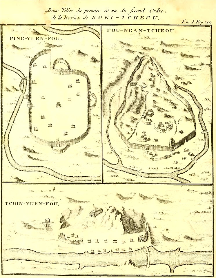
zhijin county
guizhou
fonds ancely - bibliothèque municipale de toulouse - maps
coats of arms in nancy
maps from the mechanical curator collection
1899 books
charts and maps of the royal museums greenwich
lucas janszoon waghenaer
maps of the adirondack mountains
old maps of new york (state)
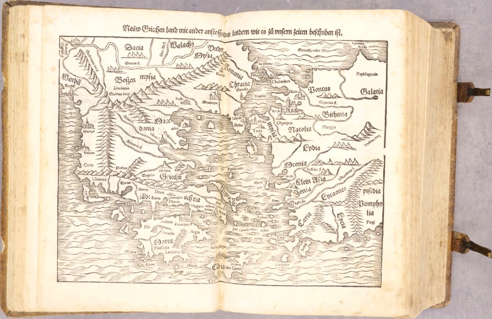
old maps of greece
old maps of turkey
blank electoral vote maps of the united states
svg maps of the united states
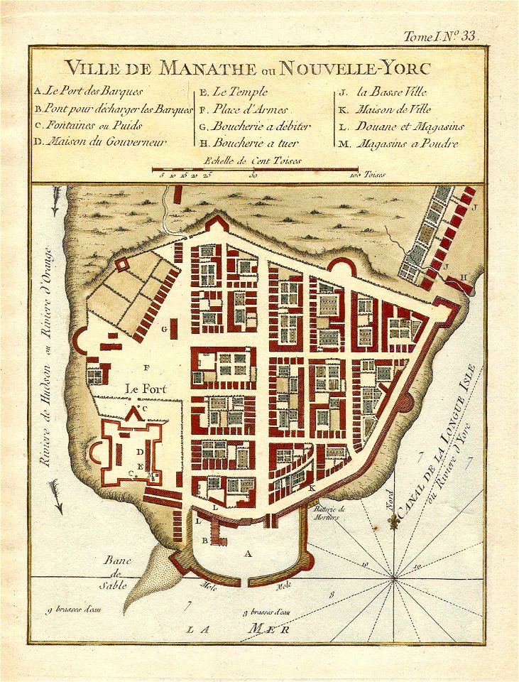
lower manhattan
new york city
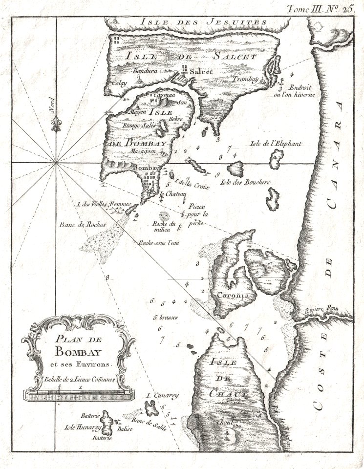
maps by jacques-nicolas bellin
jacques-nicolas bellin
maps with cartouches
atlas van der hagen
copper engraving
1645 maps
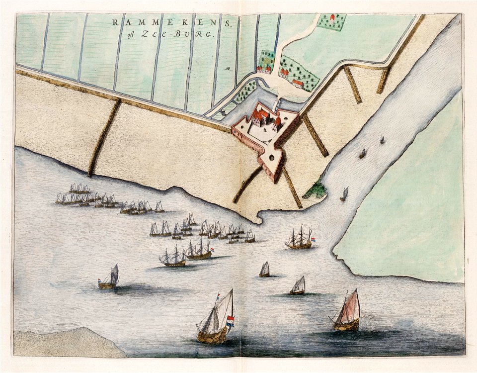
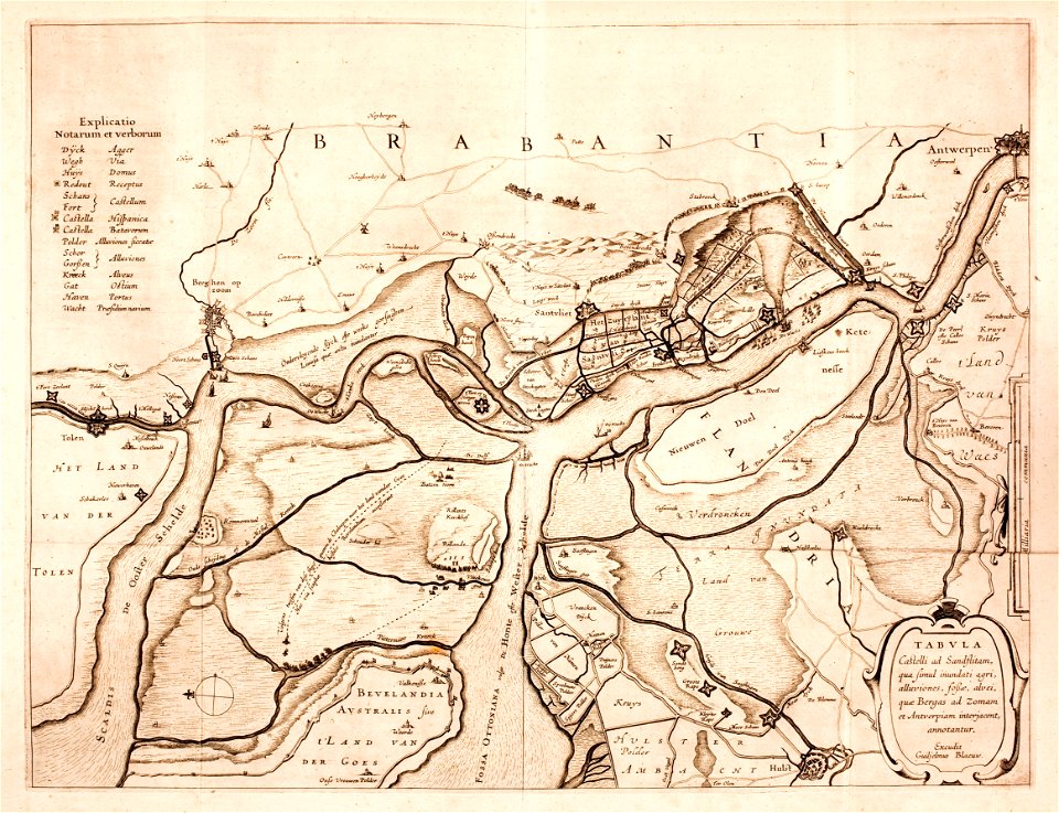
old maps of zeeland
walcheren
maps with cartouches
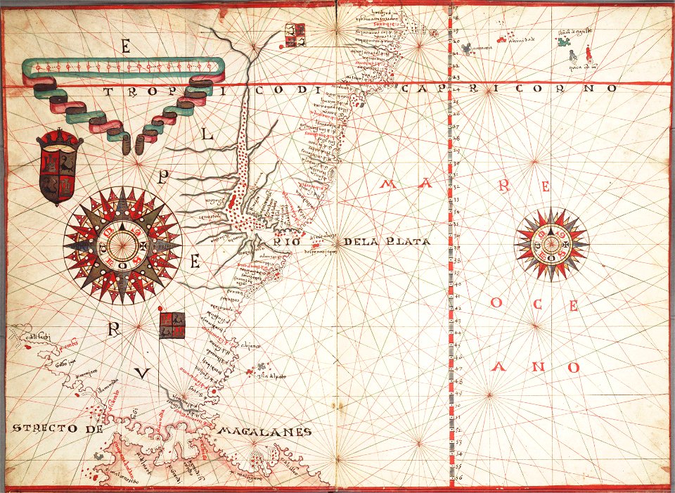
atlas van der hagen
maps with cartouches
atlas van der hagen
maps with cartouches
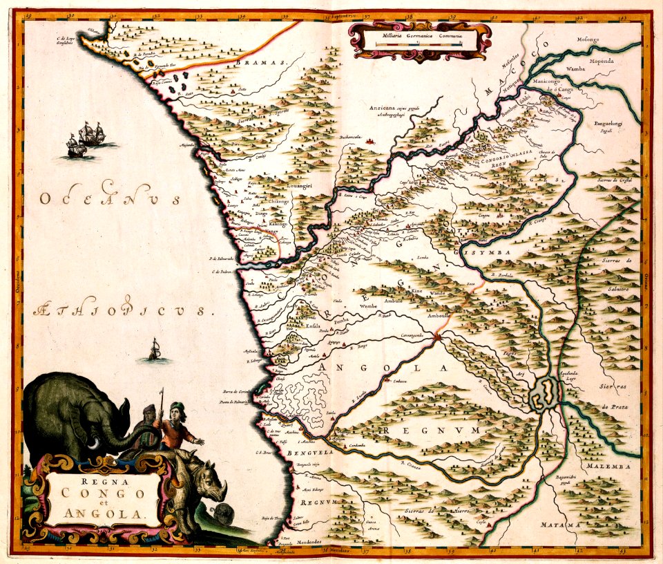
old maps of angola
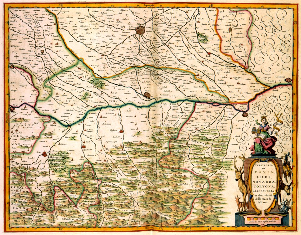
old maps of lombardy
novara
17th-century maps of france
maps with cartouches
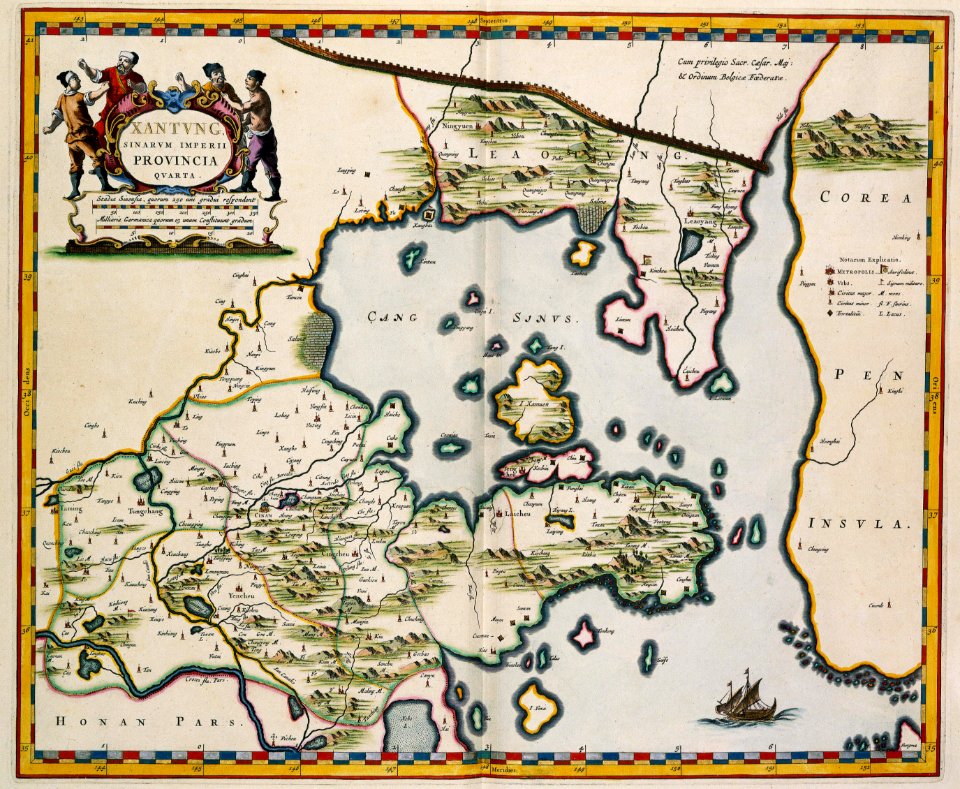
17th-century maps of china
old maps of xinjiang
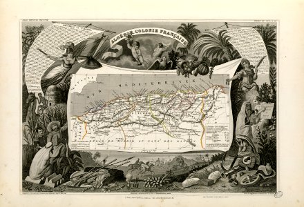
old maps of algeria
french algeria
prestedelijke bijlmermeer
old maps of amsterdam
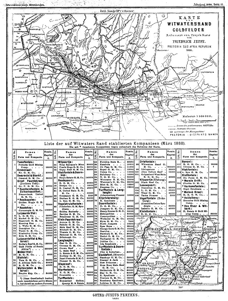
gold mines in south africa
old maps of johannesburg
maps made in the 17th century
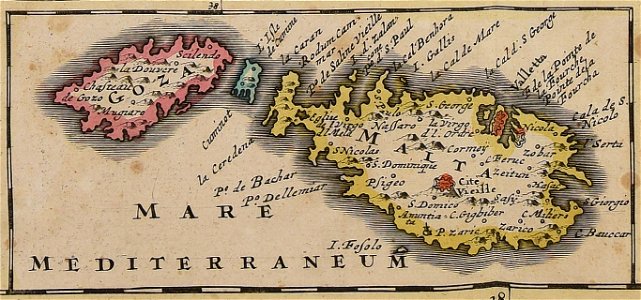
old maps of malta
maps made in the 16th century
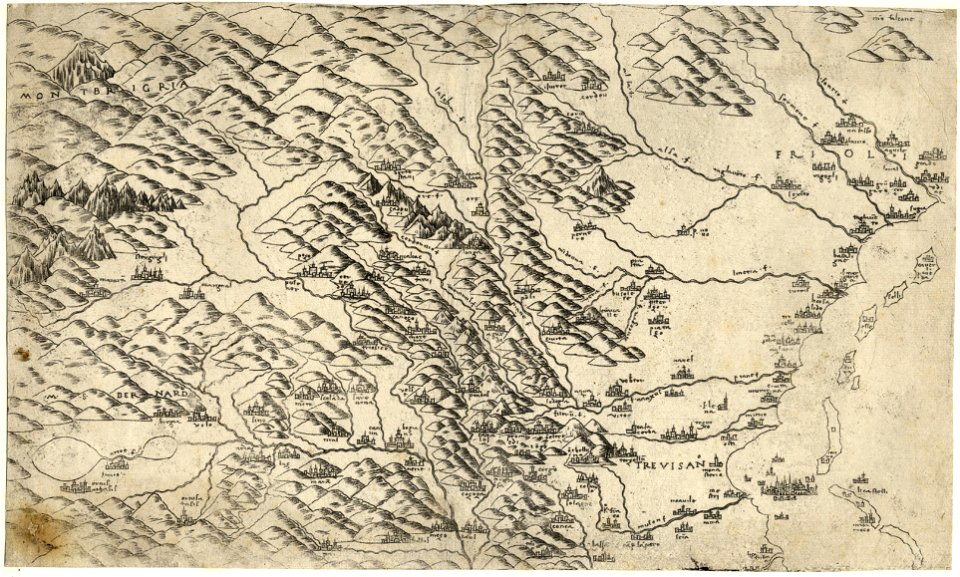
old maps of veneto
victor levasseur - maps of the world
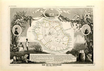
old maps of réunion
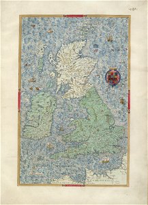
old maps of the british isles
old maps of europe
maps by willem and johannes blaeu
menton
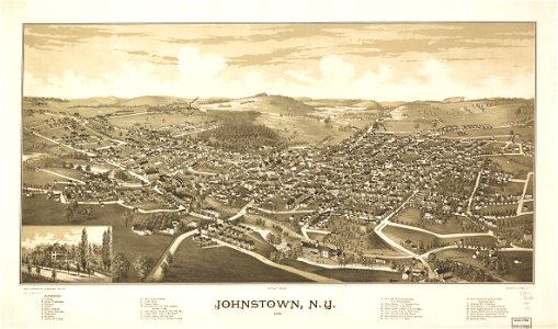
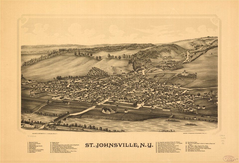
johnstown
new york
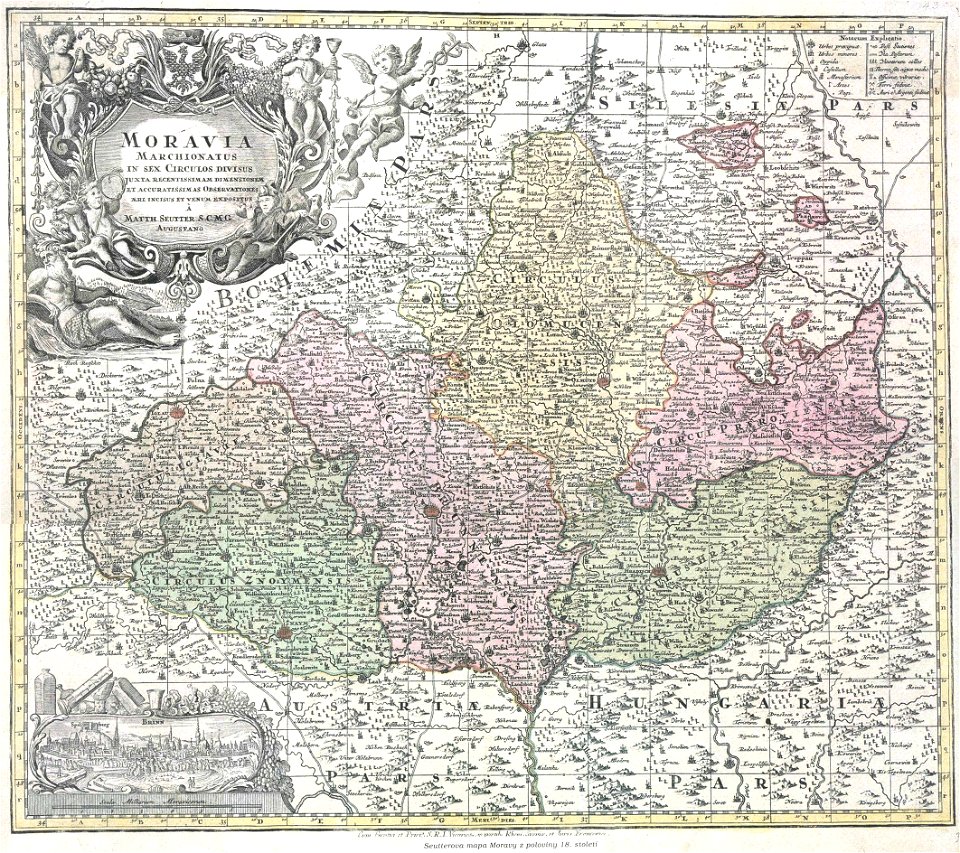
margraviate of moravia (1628-1782)
maps by matthäus seutter
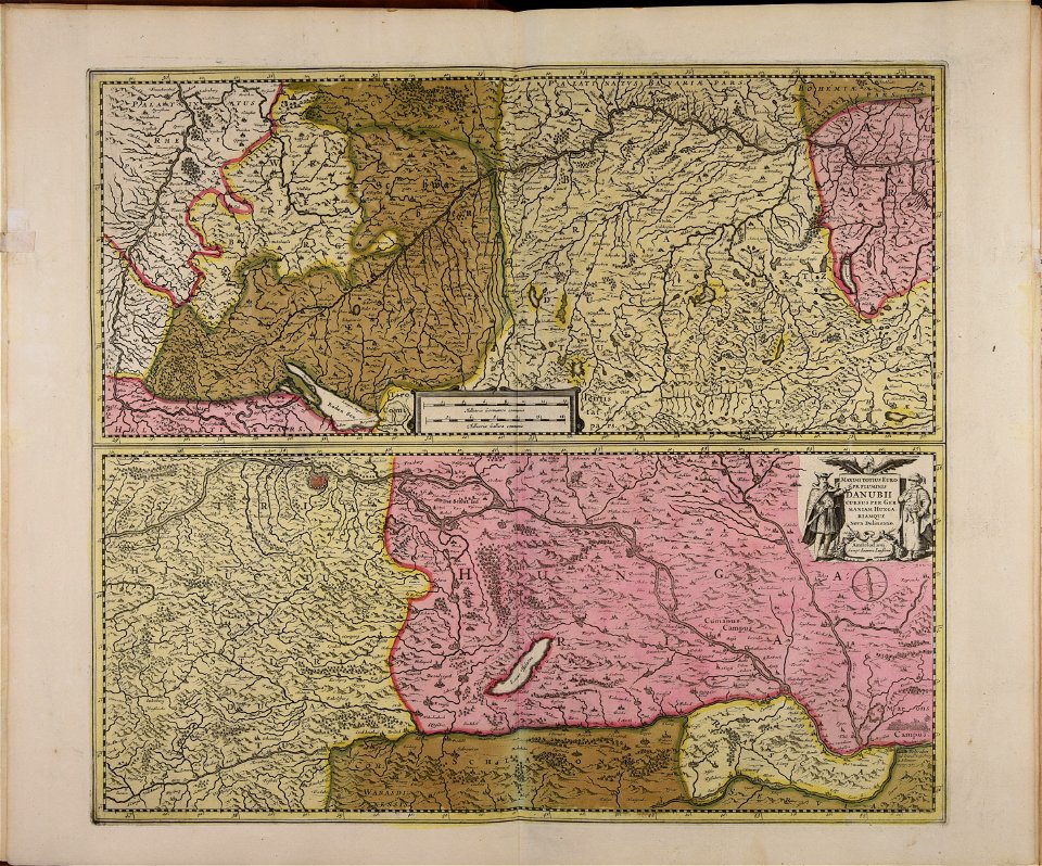
maps made in the 17th century
maps by johannes janssonius
pfannenstiel
hirslanden
maps made in the 17th century
old maps of malta
maps of strasbourg in the 17th century
18th-century maps of strasbourg
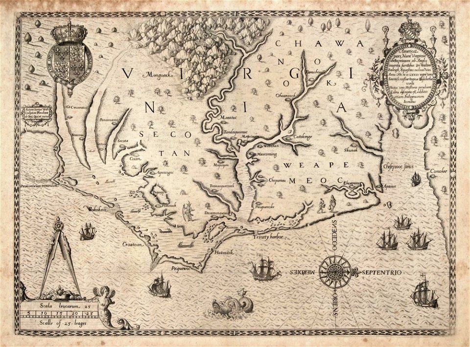
north carolina
core
charts and maps of the royal museums greenwich
1572 maps
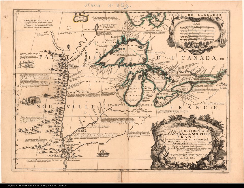
old maps of new france
maps by coronelli
maps by willem and johannes blaeu
old maps of zeeland
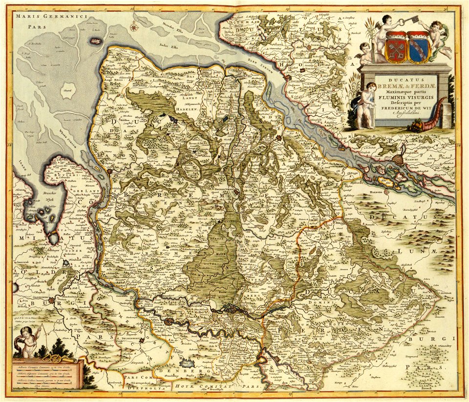
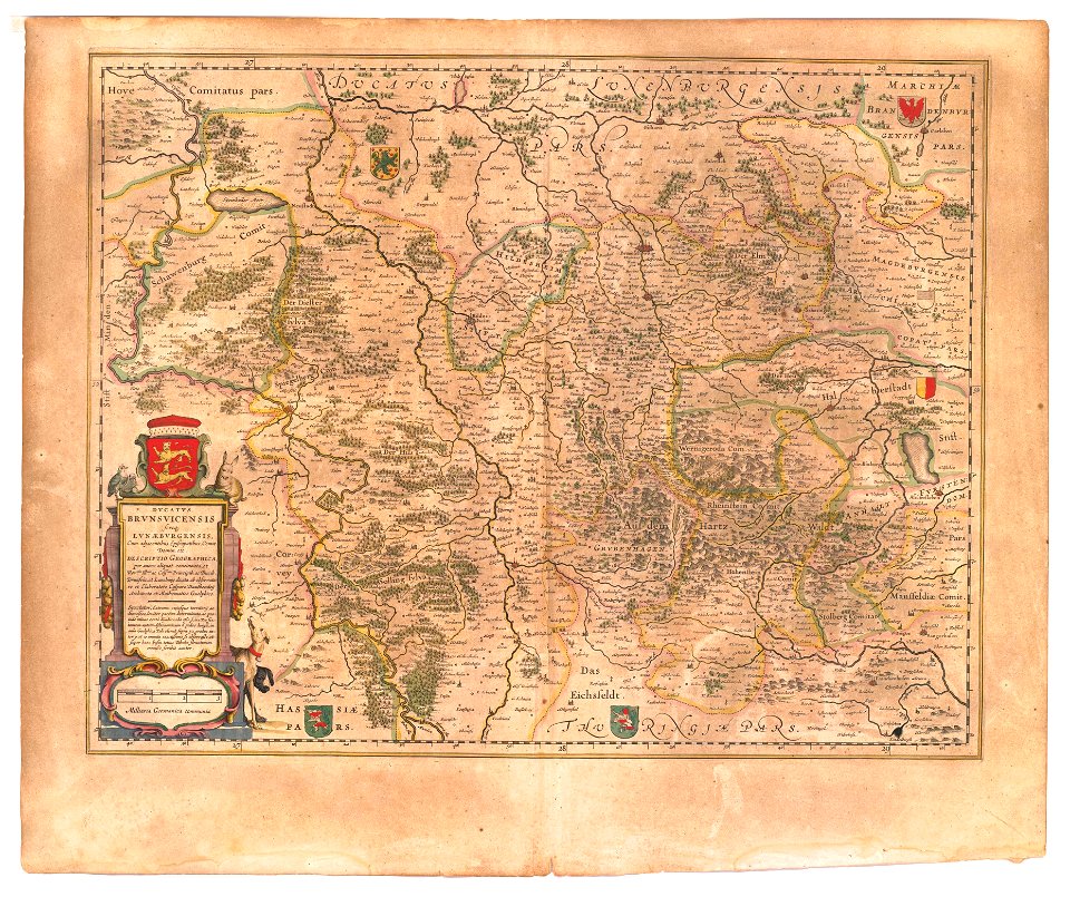
maps of the principality of brunswick-wolfenbüttel
coats of arms on maps
old maps of north rhine-westphalia
upper guelders
schauplatz der fünf theile der welt
old maps of the duchy of jülich
old maps of new france
maps by coronelli
illustrations from the mysterious island by jules férat
russian-language maps
büderich (wesel)
netherlands
19th-century oil portraits of men at half length
facing right and looking at viewer
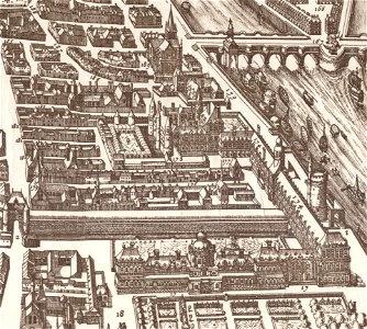
palais du louvre in the 1610s
palais du louvre on old maps
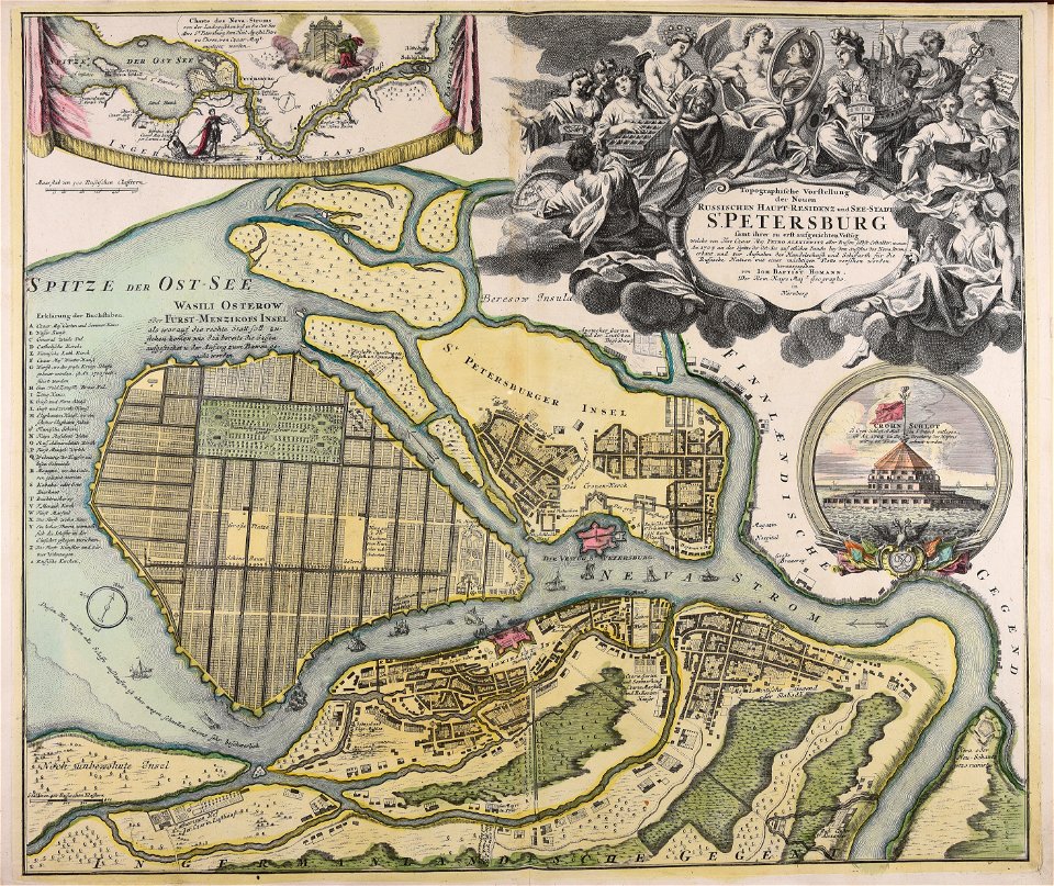
homann map st petersburg ab1720
johann baptist homann
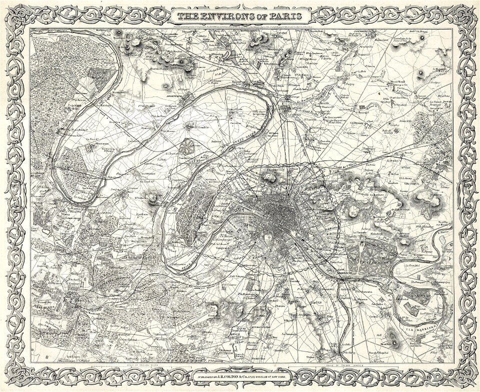
1855 in paris
1855 maps
historical images of arecaceae
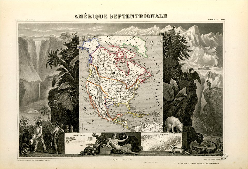
old maps of north america
maps with cartouches
atlas van der hagen
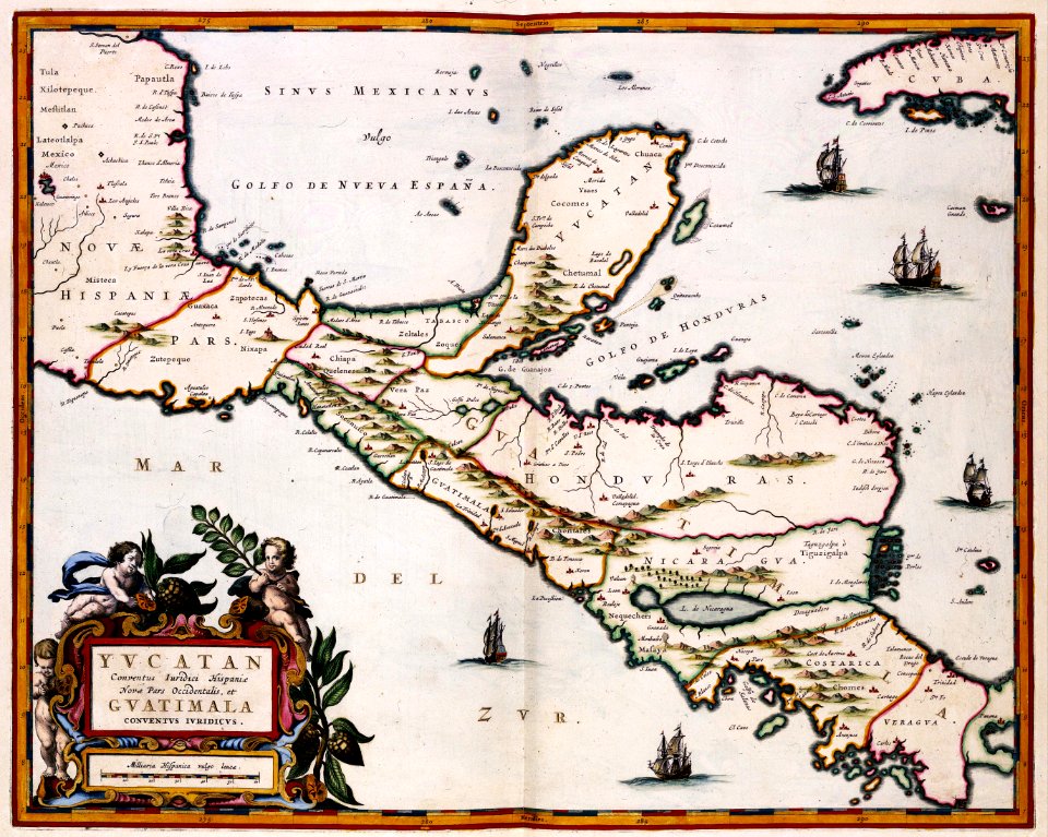
maps of the yucatan peninsula
maps with cartouches
old maps of the azores
azores
maps by willem and johannes blaeu
lillo
maps in the library of congress
new york
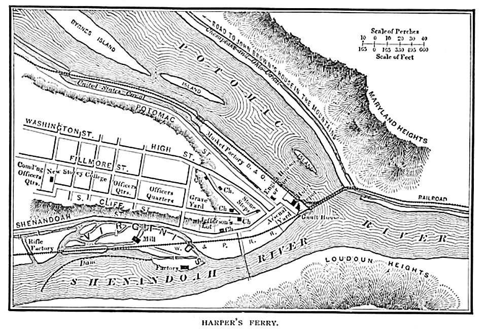
harpers ferry
west virginia
london
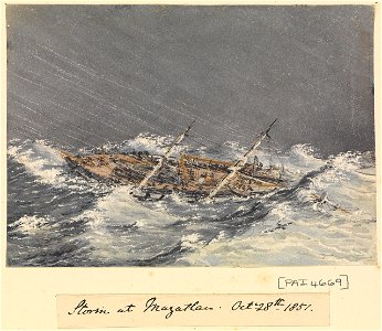
1838
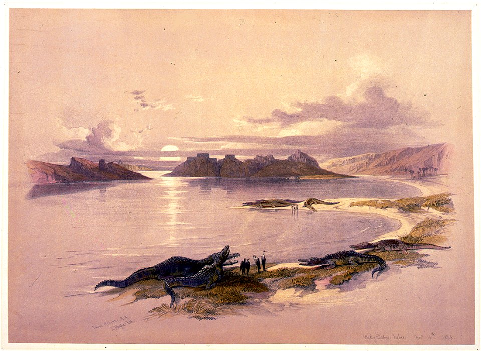
irrigation
egypt
egypt
syria
maps from the mechanical curator collection
old maps of prussia
indian territory
franklin pierce
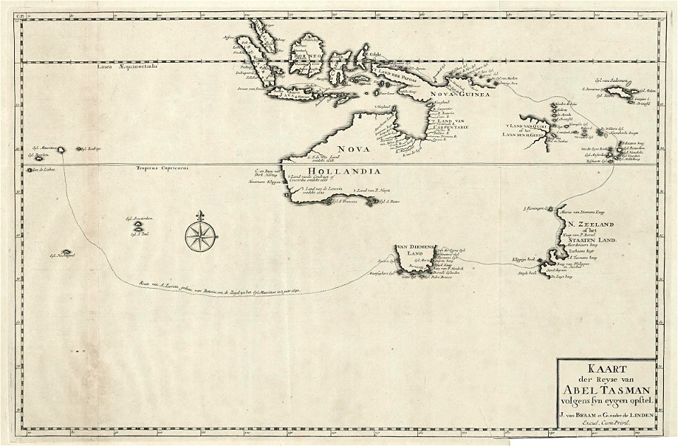
abel tasman
1724 maps
maps of paris from the barry lawrence ruderman antique maps inc.
18th-century maps of paris
maps of paris from the barry lawrence ruderman antique maps inc.
maps by homannsche erben
old maps of new brunswick
old maps of virginia
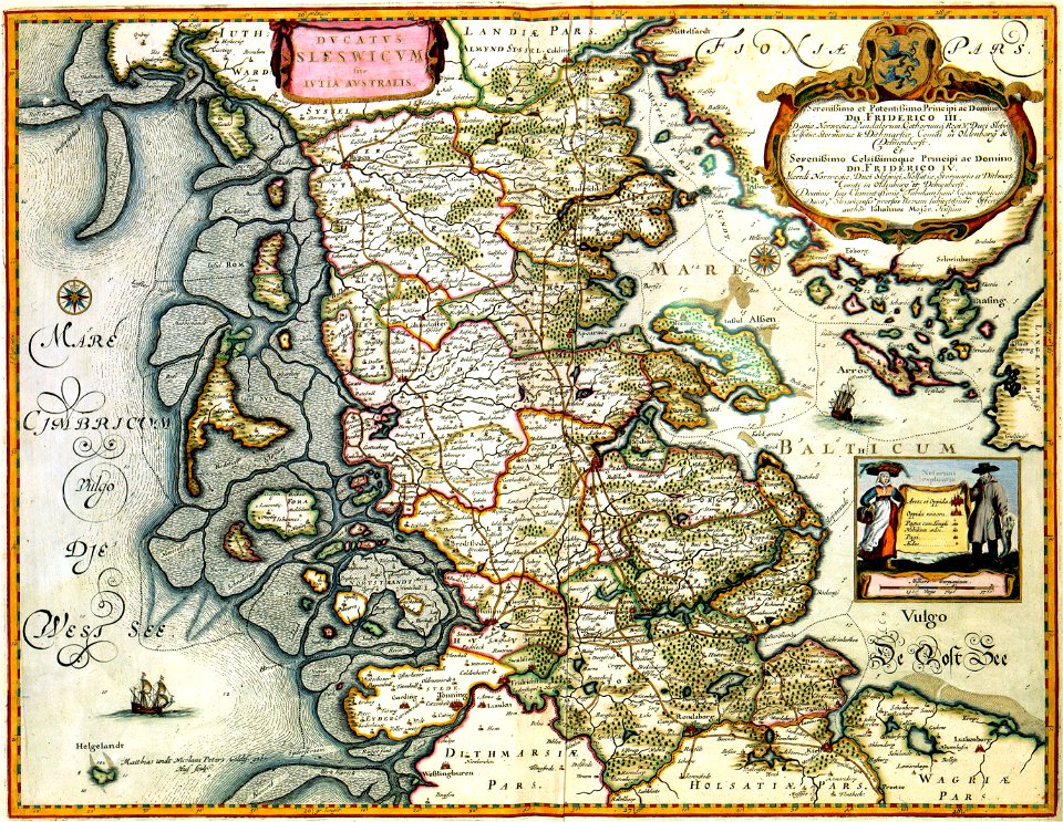
17th-century maps of schleswig-holstein
gerard valck
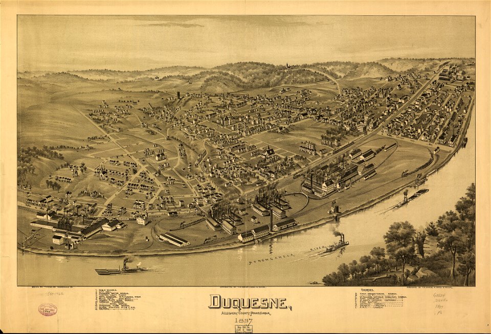
pennsylvania
duquesne
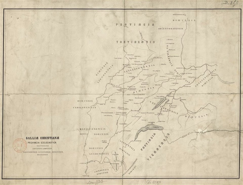
old maps published in the gallia christiana
maps of catholic dioceses of france
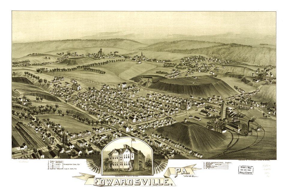
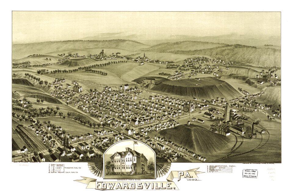
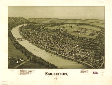
pennsylvania
edwardsville
pennsylvania
edwardsville
maps in the library of congress
pennsylvania
maps in the library of congress
pennsylvania
maps by matthäus seutter
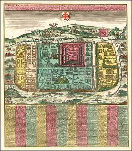
old maps of jerusalem
johann baptist homann
1762 maps
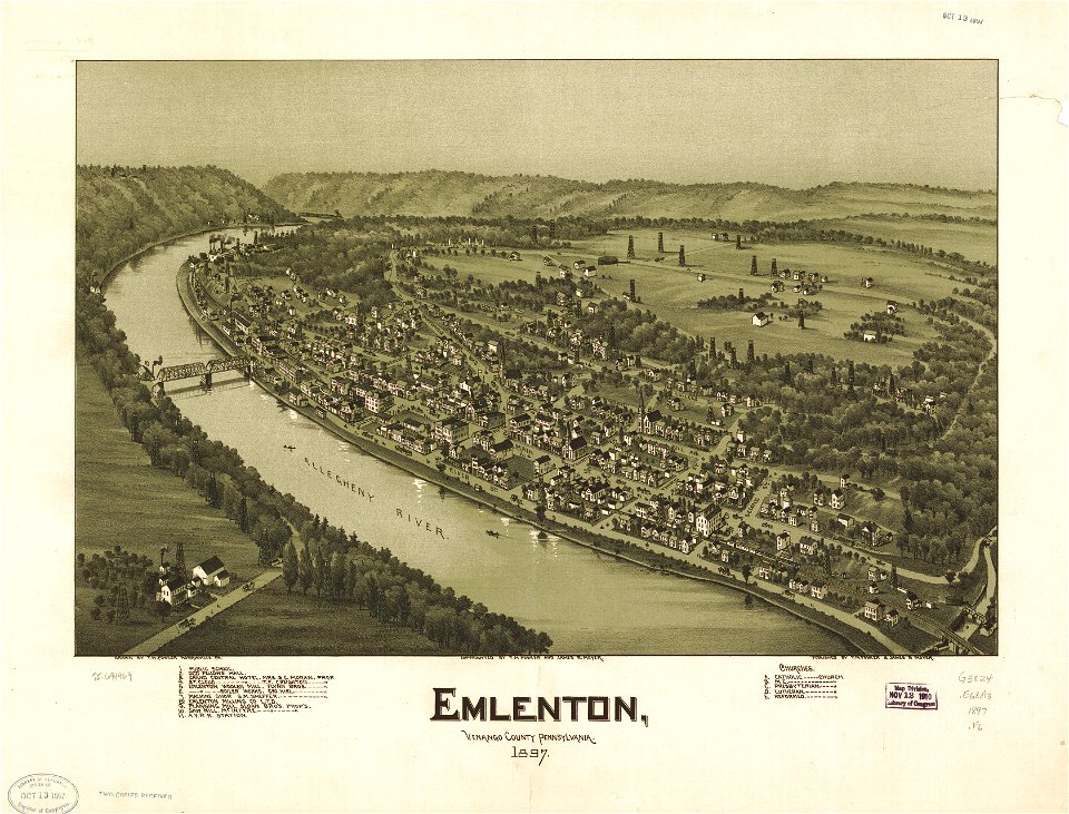
pennsylvania
carnegie
old maps of lake constance
old maps of switzerland
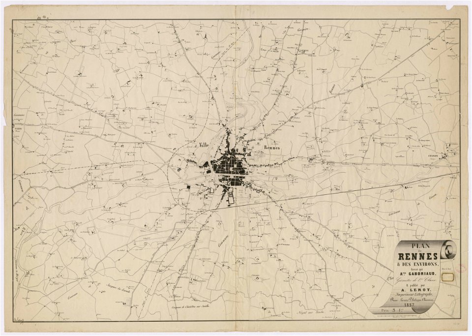
rennes in the 1850s
old maps of rennes
river falls
wisconsin
maps in the library of congress
pennsylvania
river falls
wisconsin
geographic comparison diagrams
diagrams of mountains
maps in the library of congress
pennsylvania
maps of the french and indian war
1768 maps
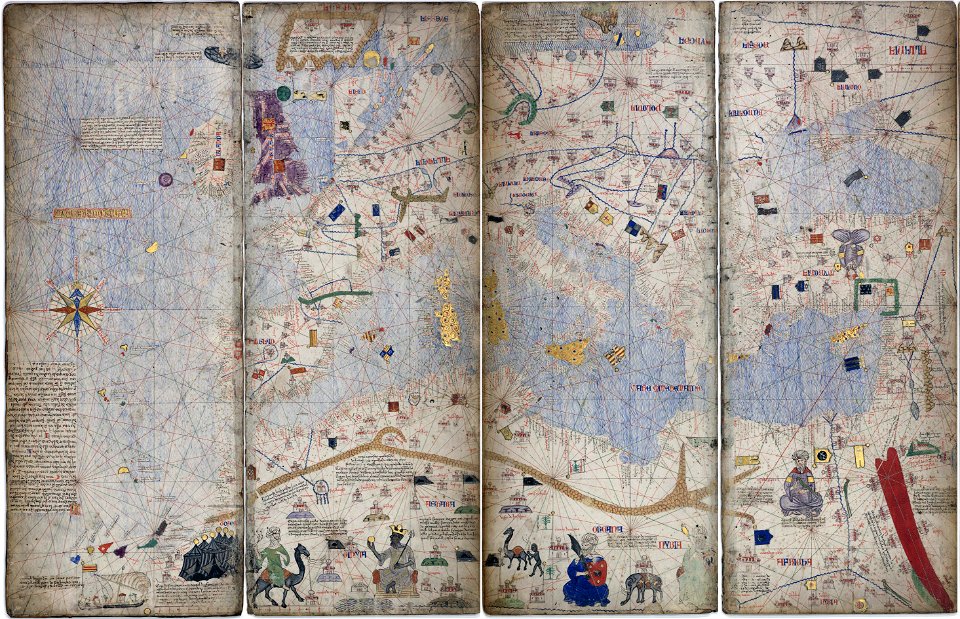
14th-century maps of the mediterranean sea
catalan atlas
14th-century maps of the mediterranean sea
catalan atlas
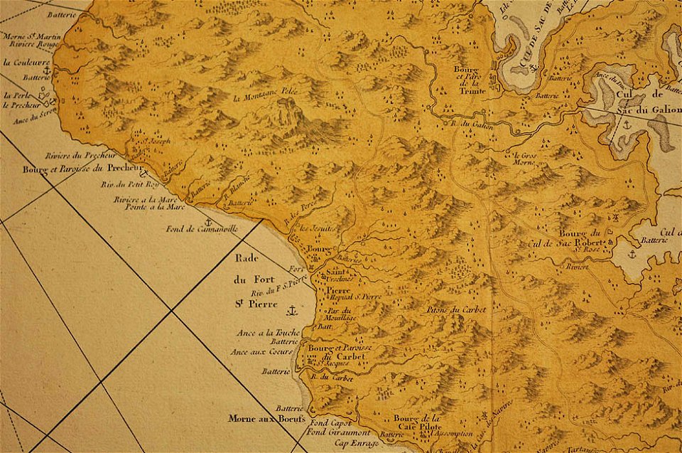
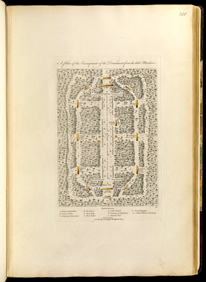
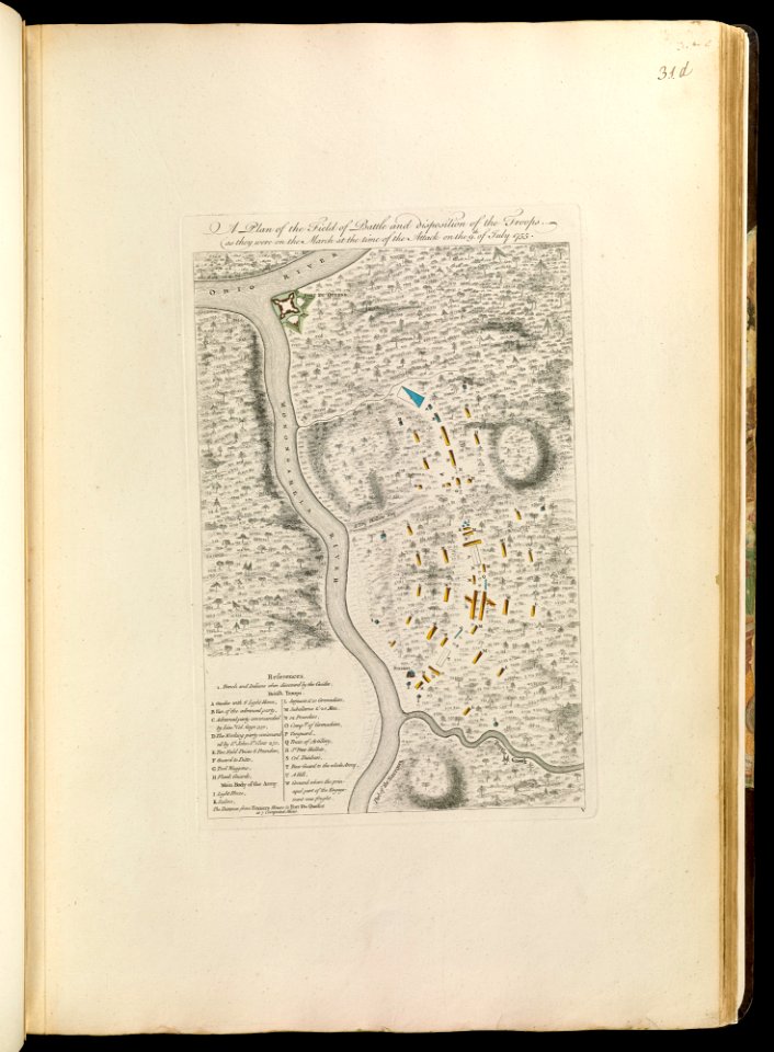
maps of the french and indian war
1768 maps
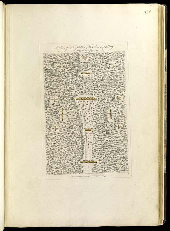
maps of the french and indian war
1768 maps
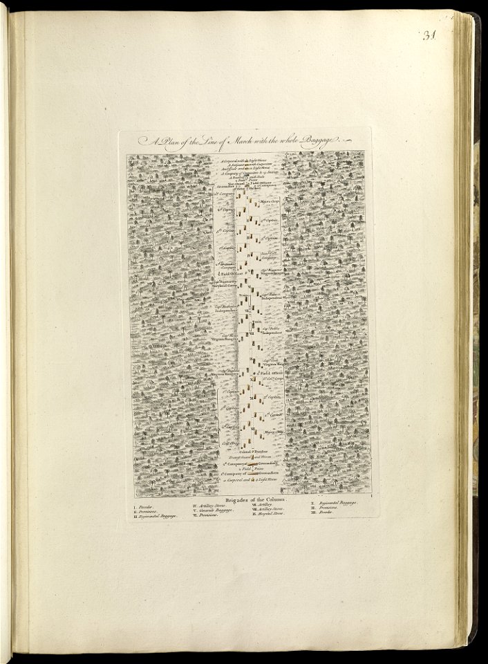
maps of the french and indian war
1768 maps
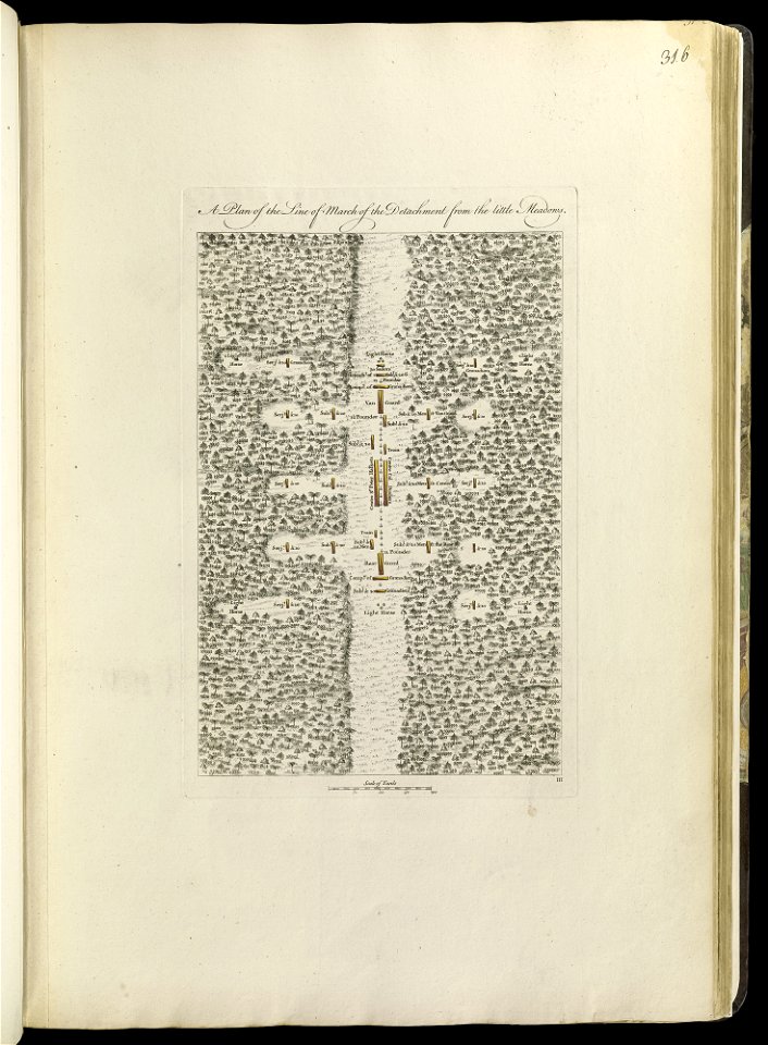
maps of the french and indian war
1768 maps
maps of the french and indian war
1768 maps
maps of the french and indian war
1786 maps
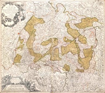
1720s maps of baden-württemberg
johann baptist homann
maps by jacob van deventer
old maps of brielle
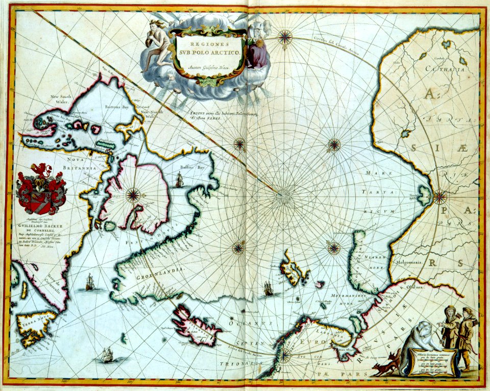
maps by frederick de wit
copper engraving
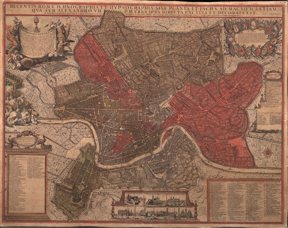
giovanni giacomo de rossi
giovanni battista falda
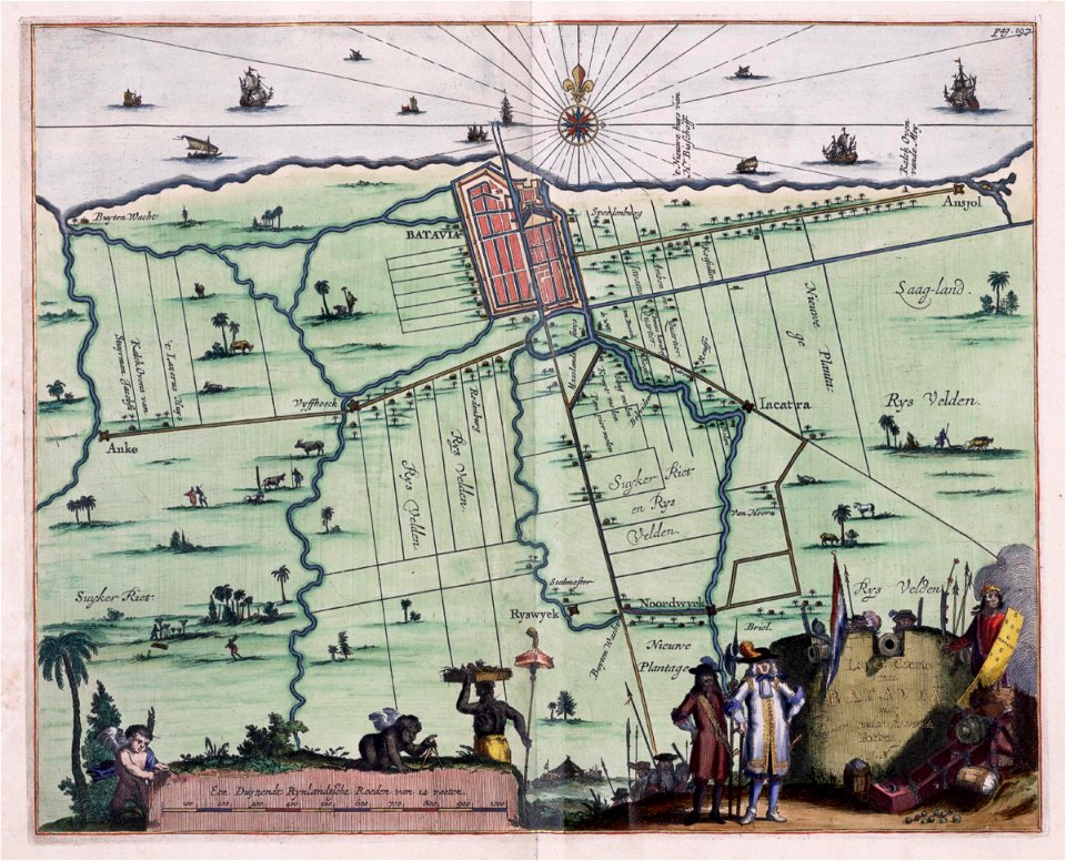
old maps of jakarta
1682)
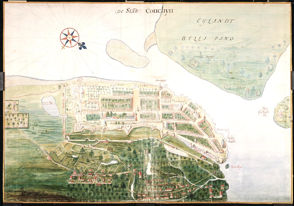
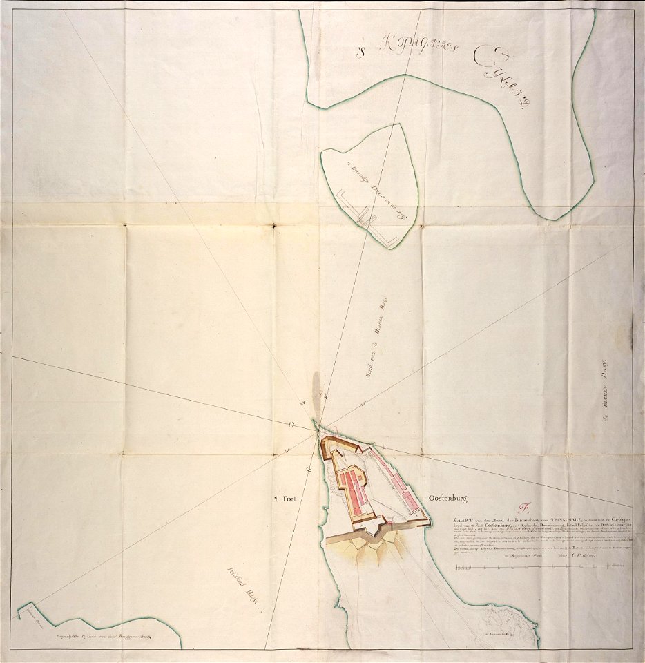
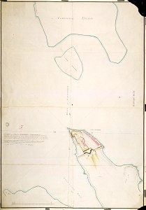
maps of the dutch east india company - sri lanka
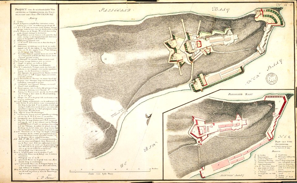
maps of fort fredrick
old maps of borneo
1750
maps of the dutch east india company - india
1665
maps of the dutch east india company - sri lanka
1787
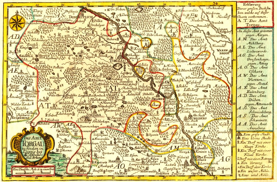
johann george schreiber
old maps of saxony
maps in the stadsarchief amsterdam
old maps of amsterdam
maps of the dutch east india company - sri lanka
1787 maps
4601 - 4700 of 36,689
Next page
/ 367